What Is a Safety Corridor?
What Is a Safety Corridor?
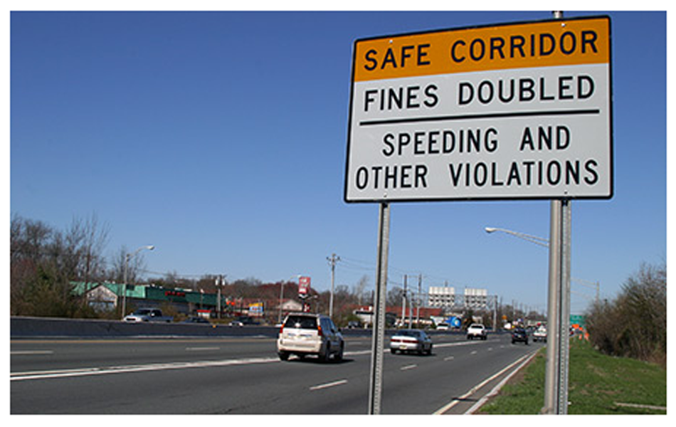
A safety corridor is a section of road that has been identified as a high priority for safety improvements due to the number of fatal and severe collisions that occur there. These road segments are identified by state and local agencies and can be located on roads or highways. Designated safety corridors typically have enhanced safety features such as additional signage related to speed or road conditions, increased traffic enforcement, targeted public outreach, and more.

The Road to Zero
Many agencies are introducing safety corridors as part of their strategies to eliminate serious motor vehicle incidents on their roadways. In fact, the Vision Zero Network recommends that all Vision Zero cities research and adopt this approach. This encourages agencies to concentrate their crash mitigation strategies and projects on the areas in their road network that have the highest risk profile for severe crashes.

Safety Corridor – What’s In a Name?
The concept of a safety corridor exists under many different names. Depending on the agency you speak to, the initiative could be called a Vision Zero Safety Corridor, a Priority Safety Corridor, a Pedestrian Safety Corridor, or a High Injury Network. At the end of the day, the goal is the same: to maximize safety improvements by focusing resources on high-risk corridors.
Selecting Safety Corridors
As with naming conventions, methodologies for selecting safety corridors or generating a High Injury Network vary from agency to agency. Different communities will weigh various factors differently from one another in their calculations. For example, collisions involving pedestrians or collisions that inflict high damage to society may carry more weight than others. Traditionally, this mix of data, mathematics, and regional priorities drive the selection process.
Learn key tips and considerations for developing a data-driven High Injury Network or Safety Corridor.
Download Now
UrbanLogiq and Safety Corridors
As it stands now, there are a number of flaws in the approach we describe above:
- Crash data is imperfect; it often contains errors, is paper-based and may require data processing and geocoding before it can be used for deep analysis
- No unified methodology exists across governments to select safety corridors
- Contextual information is not always considered in the selection process, i.e. whether a corridor is located in a low-income community
- Measuring and comparing the effectiveness of safety corridor programs requires a lot of manual work
UrbanLogiq helps agencies overcome these challenges by:
- Taking on the work to clean and transform messy data
- Providing a data-driven, transparent and reproducible methodology
- Visualizing and analyzing contextual data beyond just crash history that could be impacting crash rates and crash severity, i.e., traffic volumes, pedestrian movements, zoning/land use changes, demographic changes, bicycle network changes, traffic signalization, and more.
- Making it easy to run “before and after” analysis to measure the impacts of mitigation efforts
- Spatially visualizing heat maps and hotspots of high-risk areas based on different factors.

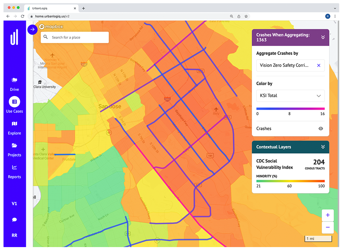
Vision Zero Safety Corridors and CDC Vulnerability Index data visualized in the UrbanLogiq Platform
To properly address road safety, agencies must fully understand and be able to report on the circumstances leading up to and contributing to severe collisions. UrbanLogiq streamlines this process making safety data reporting easier than ever before.
Learn More
UrbanLogiq is an easy-to-use data platform that democratizes spatial data for users of all backgrounds. Our software integrates and visualizes data of any type, source, or format, enabling officials to turn complex, fragmented data into compelling visual stories and actionable insights.


