The Traffic Data Collection Renaissance
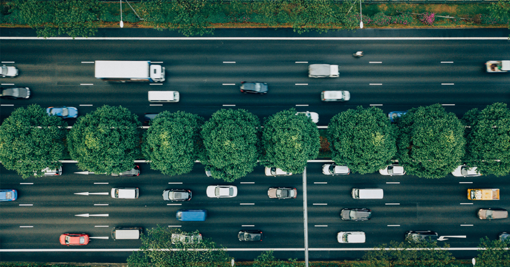
Every day, over a billion people drive from point A to point B. That transit of a billion people, generates a considerable amount data. What’s more, traffic data collection can give us deeper knowledge of how people use roads and it is increasingly becoming an integral part of building smart cities. Learning where those millions of cars, trucks, mopeds, and motorcycles go and how they get there is extremely powerful. It gives the wielder the ability to make better decisions and improve the lives of city residents the world over.
But before we get to using data, let’s talk about where data comes from and how it’s collected. Data is only as good as the method that was used to collect it. Nothing could be more true when it comes to traffic.
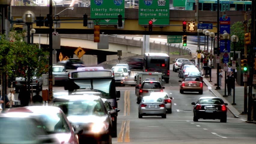
The Renaissance of Traffic Data
There was a time when traffic analytics relied on news reporters in helicopters armed with a pair of binoculars. We’ve come a long way since then. Technological advances over the last six decades – everything from manual counters to induction loops – have allowed cities to better understand and measure who and what is using their roads. Today, we are on the cusp of a revolution in our ability to harness near-perfect knowledge of traffic patterns. The implications of which, with the right tools, will be extremely positive for urban transportation planning and, more generally, substantial advancement towards smarter, more efficient cities.
Defining Traffic Count Data
There are two categories of datasets when it comes to raw traffic data. Motorized and non-motorized.
Non-Motorized:
- Bicycle volumes
- Pedestrian volumes
- Bicycle and pedestrian total volumes
Motorized:
- Vehicle volumes
- Vehicle classifications
- Speed
- Axle spacing
- Vehicle and axle weight
- Gap
- Headway
- Lane occupancy
Traffic count data for any city includes all of these and a smart traffic management system does not ignore any of them. Traffic signals, peak hour factor (PHF), annual average daily traffic (AADT), and passenger vehicle units give vital metrics that can be tracked and recorded by traffic sensors, which lead to a comprehensive understanding of traffic patterns over time. The optimal practice is to use a combination of methods so that cities have the best profile of who and what uses their roads.
A Brief Overview of Traffic Data Collection Methods
The bottom line is there is no one perfect method to collect data – some methods are more appropriate for certain conditions and applications than others.
The Old Fashioned Way
As mentioned above, there was a time that the reporter in the helicopter was the best way to get real-time information about road conditions. In addition to helicopters, to this day, cities still often use manual counters at least every few years and at most every few months to collect data. Manual counters, however, are usually very expensive. Sometimes, cities will send in staff, other times they will hire consultants who charge thousands of dollars for the same thing. The problem is the resulting data, while accurate, is static, hard to manipulate, and even harder to share with other departments and users.
Road sensors
These are the most conventional (and traditional) ways to collect traffic data. The problem is they are costly and disruptive to install and maintain, and some can be incorrect or non-operational at any one time. Nonetheless, they are an important part of traffic data collection upon which many cities still rely. There are two types of sensors: intrusive and non-intrusive.
Intrusive sensors
Intrusive sensors, such as induction loops (underground) or traffic tubes (above ground) in the travel lane, were of the more sophisticated methods used for most of the last few decades all the way up to today. However, they have some significant drawbacks:
- Personnel Safety: It may be unsafe for data collection crews to place the sensor in position;
- High Installment Cost: It is expensive to supply the traffic control needed to place and/or maintain intrusive sensors;
- Poor Performance: When pavement condition is poor, intrusive sensors often perform poorly and have a shortened life span;
- Depreciating Roadways: If the intrusive sensor is not properly installed, it can shorten the life of the pavement where it is placed;
- Traffic Disruption: Disruption of traffic occurring with the placing of sensors introduces safety as well as performance issues; and it may be difficult to close the lane because of high traffic volumes.
Intrusive sensors, especially considering that traffic volumes have increased over time, are not the future of traffic monitoring and data collection. They are a lot to go through from a taxpayer’s and local driver’s perspective for a not-so-high quality of data from the municipality’s perspective. However, until the innovations of the last 20 years, these sensors were all we had. There has been considerable progress in devising better, non-intrusive methods of collecting traffic data.
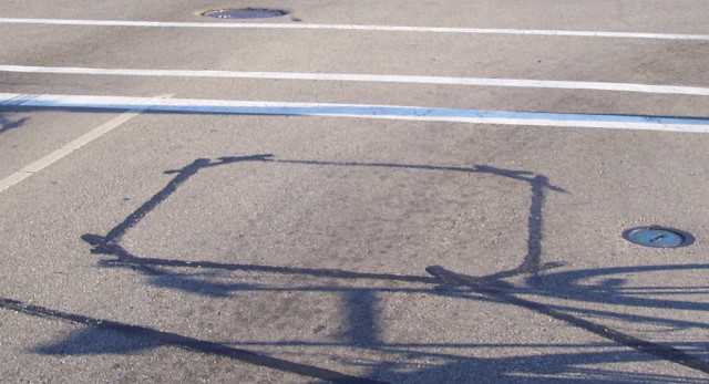
Non-intrusive sensors
Non-intrusive sensors are far easier to install, access and maintain. However, large multi-lane roadways provide drawbacks as the roadside sensors would not be able to detect traffic in the farther lanes. This is particularly the case when large semis use the outermost lane and obstruct the sensors’ line of sight.
Generally speaking, the higher the sensor is located, the lower the occlusion and the better viewpoint it has to monitor traffic. The drawback with this solution is the installation of above-traffic sensors is almost as costly and disruptive to traffic flow as the intrusive sensors are. As global traffic congestion levels rise, traffic planners require additional considerations for future and current regular traffic flow. Road sensors of all kinds are relatively good at detecting major slowdowns in real time, but not at measuring ordinary traffic flow, predicting travel times, or sharing that data with roadway users.
Intrusive and non-intrusive methods all have their benefits and drawbacks but they each have something to offer that is an imperative for good decision-making in city planning: traffic data.
GPS
In the late 1990s, GPS probes hit the market as the latest innovation to monitor traffic. GPS probes were installed in commercial vehicles which then uploaded to the centralized network. However, this was expensive to do and only ever got up to 1 million vehicles at the time. Also the probes could only provide updates through their GPS systems a few times per hour, but, nonetheless, GPS has been proven to provide significantly better accuracy and affordability for local governments.
GPS today has considerably more potential now that most smartphones are GPS-enabled. A 2009 report by the University of California, Berkeley, says a “traffic monitoring system based on GPS-enabled smartphones exploits the extensive coverage provided by the cellular network, the high accuracy in position and velocity measurements provided by GPS devices, and the existing infrastructure of the communication network.” The study showed that even if there was only a 2 percent to 3 percent of cell phones in the driver population, it would still be enough to provide accurate measurements of the velocity of traffic flow.
Cell phone triangulation
As cell phone ownership took off in the 1990s to 2000s, triangulation quickly became a new way to track and collect traffic data. A few pioneering startups started to commercialize the technology and the space, which soon became inhabited by larger players like RIM.
Triangulation was, at the time, the most accurate and cheapest traffic data collection technology. Most phones already had the appropriate functionalities installed and there was zero to no technology adaptation for governments who would have otherwise have to bear the high costs of hardware installation.
Today and into the Future
Modern day traffic data collection uses a combination of technologies available: GPS devices (e.g., smartphones) that upload their location to the network as well as cell phone triangulation, which has progressed to even include Bluetooth and 3G technologies.
For instance, Libelium Technologies of Spain has developed a novel Vehicle Traffic Monitoring Platform which creates real time systems for monitoring vehicular and pedestrian traffic in cities by sensing the flow of Bluetooth devices in a given street, roadway or passageway differentiating hands-free car kits from pedestrian phones.
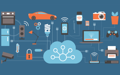
Thought- and market-leaders of smart cities and data collection insist that the world of traffic monitoring will be moving away from needing millions of sensors measuring millions of data and become more of a matter of having just the right ones. Internet of Things (IoT) technologies will allow sensors to not only talk back to the central hub but also talk to each other, communicating vital pieces of sensory knowledge to send messages of emergency, congestion, accidents, or weather conditions, making the network of sensors more efficient and smarter. IoT implications for sensory technology are huge and will bring us to the next era of traffic data collection.
